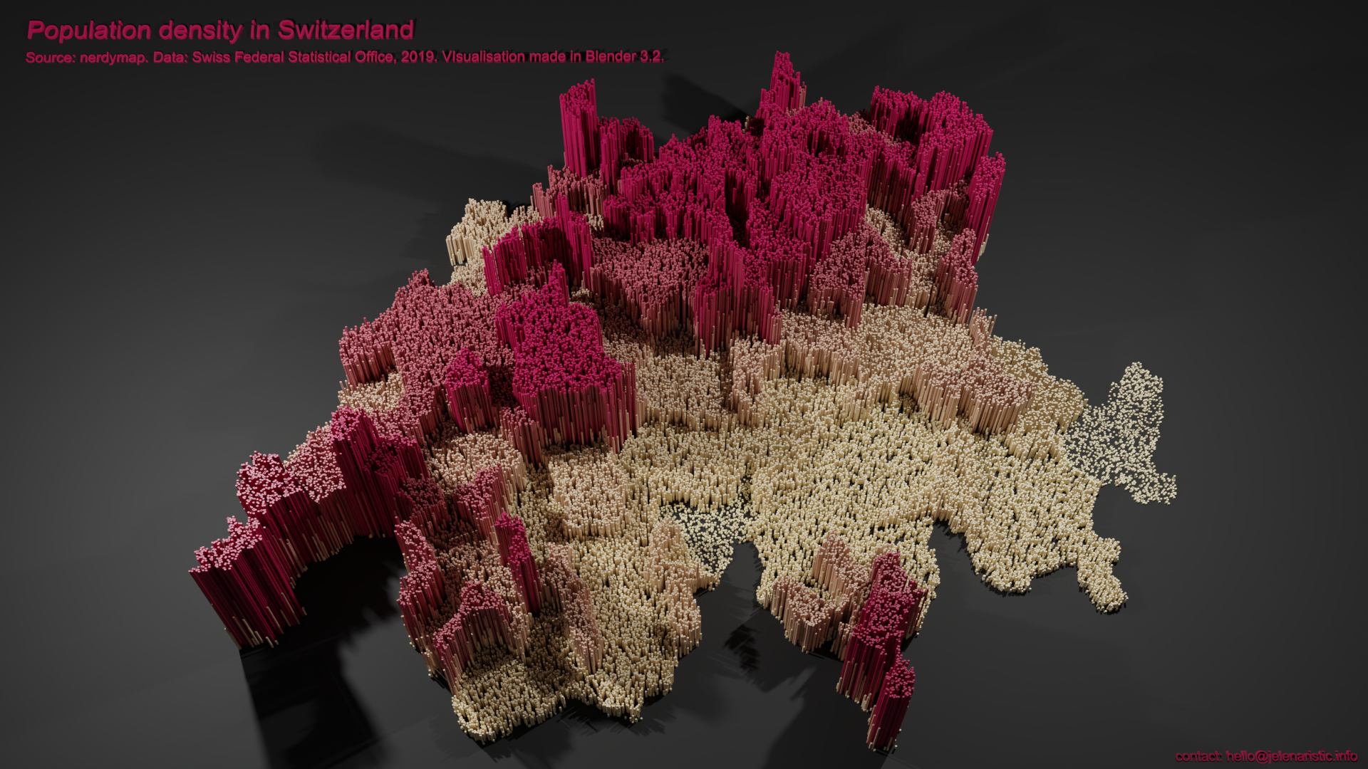
PROJECT DATE & PLACE
2022, personal project, Vevey, Switzerland
MY ROLE
Image editing / 3D modelling / Rendering / Animation & video
Many thanks to the Blender community and Bbbn19 for ideas and guidance for this project.
If you wish to use this animation, feel free to get in touch. Thank you.
DATAMAPPING –
PHOTOSHOP & BLENDER

 To provide you with the best browsing experience, we use technologies like cookies to store and/or access device information. Consenting to these technologies will allow us to process data such as browsing behaviour or unique IDs on this site. Not consenting or withdrawing consent, may adversely affect certain features and functions.